
Portfolio
Floor Plans.
Every layout has its own logic: how the rooms connect, where the light gathers, what makes the space work the way it does. We measure with LiDAR precision, but the real job is understanding that logic well enough to put it on paper clearly, so anyone looking at the plan can read the story of the space at a glance.
The scan
One building, four readings.
LiDAR scanning captures millions of precise data points in minutes. Complex layouts, irregular walls, and furnished rooms are handled more reliably than point-to-point laser methods.


The drawings
What lands in the inbox.
-
Melliss Avenue -

West Heath Road -
Chester Street -
St John’s Wood Park -

West Heath Road -
Chelsea Park Gardens -
Melbury Court -
Uphill Road -
St George Wharf -

Riverwalk -
Peninsula Heights -
North Audley Street


More from the scans
-
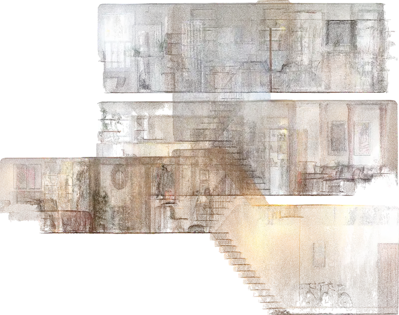
The scan in its real colours. New Kings Road -
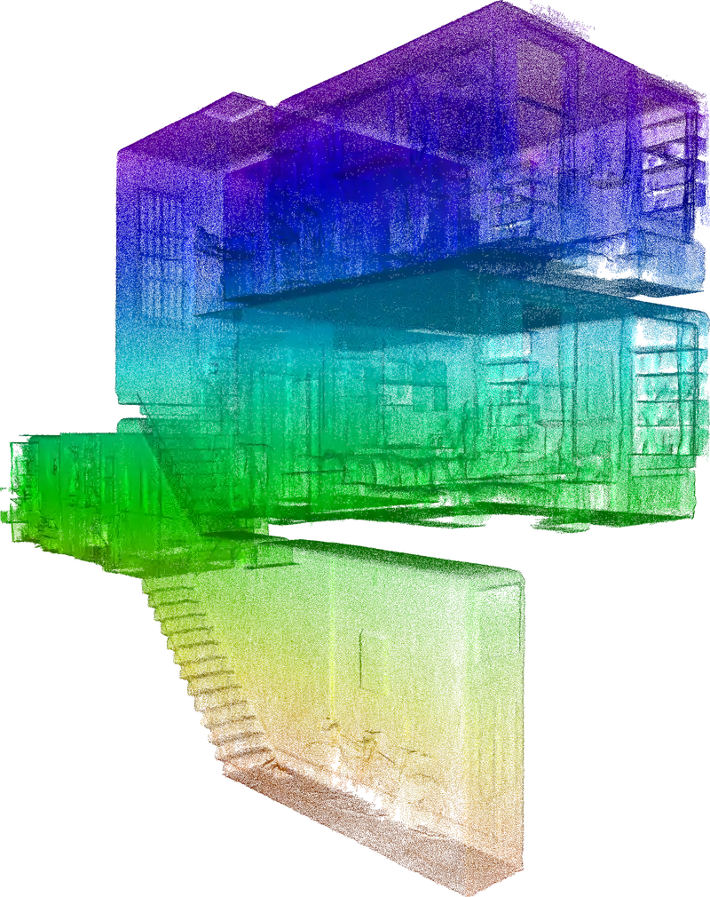
The scan in 3D, coloured by height. New Kings Road -
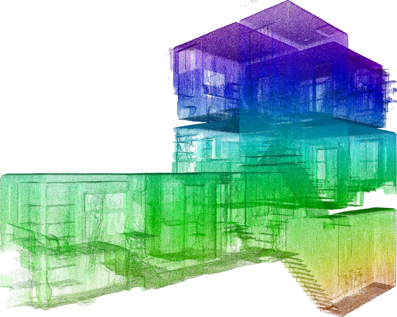
The scan cut open, coloured by height. New Kings Road -
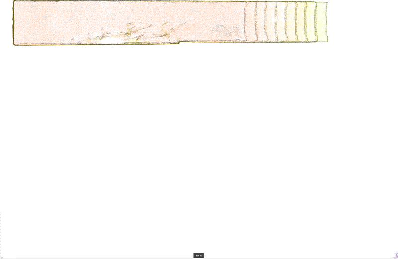
The entrance, scanned. New Kings Road -
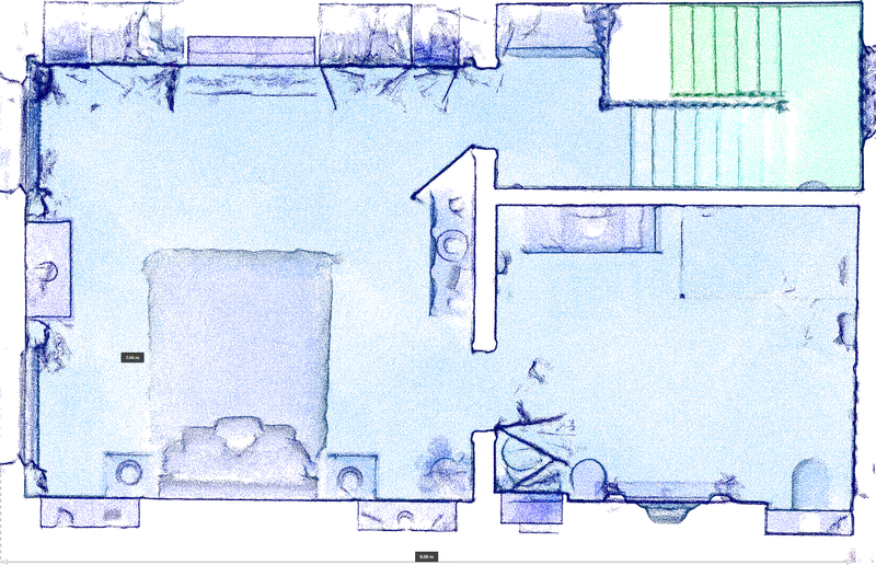
The measured plan, coloured by height. New Kings Road -
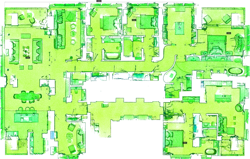
The measured plan. Peninsula Heights -
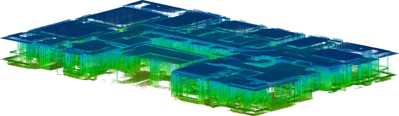
The scan in 3D, coloured by height. Peninsula Heights -
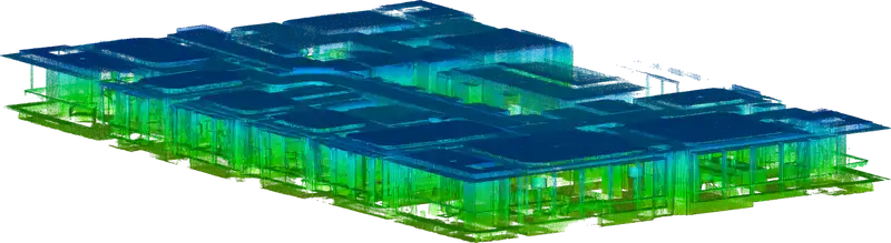
The scan in 3D, coloured by height. Peninsula Heights


